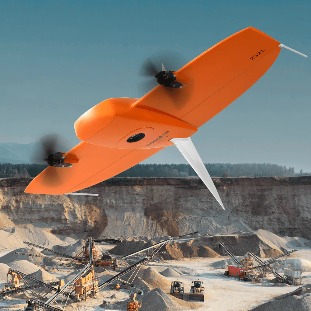
WingtraOne GEN II
A mapping drone for fast and accurate surveying data every time


Get your survey data faster
The WingtraOne mapping drone’s unique set of features empowers you to minimize your time flying and get more work done, be it another project in the field or analyzing your data at the office.
Efficient fixed-wing flight
Fly at 16 m/s (36 mph) for up to 59 minutes per flight for large coverage.
61 MP camera
WingtraOne can fly higher than drones limited to 20 MP cameras, so you capture more ground and more detail with every picture and a larger area per flight.
No more GCPs, checkpoints only
With an onboard high-precision PPK GNSS receiver you no longer need to lay out ground control points (GCPs). Use as few as three checkpoints to verify your map quality.
Lower image overlaps
High quality optics means you can reconstruct your map reliably even with lower overlaps. This means more new ground covered per flight line and maximum coverage per flight.
Photogrammetry
LiDAR
Survey more in a single flight
Whether it’s a highway, an industrial complex or a mine, you can now take on large projects that were previously impossible to map with a drone. And it takes you just a few hours.
Photogrammetry
Maximum coverage with one flight:
at 120 m (400 ft) flight height
61 MP sensor
460 ha (1140 ac)ⓘ

20 MP sensor
220 ha (540 ac)ⓘ

20 MP sensor
50 ha (120 ac)ⓘ

LiDAR
Maximum coverage with one flight:
at 90 m (300 ft), 30% side overlap
360 ha (890 ac)

144 ha (356 ac)

Cut your costs
Faster data collection and expanded coverage mean fewer people in the field for less time, lowering the man-hour costs associated with data collection.
Data collection time and costs for an industrial complex of 1,200 ha (3,000 acres)
WingtraOne
3 days
4,500 USD
Multicopter drones
10 days
15,000 USD
Terrestrial tools
20 days
30,000 USD
These three ports totaling an area of 3,000 acres (1,200 ha) were mapped in three days with an absolute horizontal accuracy of 0.6 in (1.5 cm). All figures are estimates and do not include post-processing and final output costs. Estimates are based on a 1,500 USD per day charge by the survey company.
A mapping drone for anywhere
Thanks to its VTOL design, WingtraOne can take-off and land almost anywhere—even in confined spaces or on rough terrain. This enables you to collect data where other drones cannot.
WingtraOne’s camera never comes into contact with the ground, meaning no debris scratching your camera lens and thus a longer equipment lifetime.
Survey data quality that will set you apart
Photogrammetry
Equipped with a 61 MP full-frame camera powered by Sony, the WingtraOne takes sharp and undistorted nadir images with high pixel density, resulting in a GSD of down to 0.7 cm / px.
LiDAR
Equipped with the best-in-class sensor and Inertial Labs IMU LiDAR kit, WingtraOne ensures high accuracy and efficiency with every flight.
.jpg)
Photogrammetry
Together with a built-in multi-frequency PPK GNSS receiver and a 61 MP sensor, WingtraOne delivers best-in-class absolute horizontal accuracy, down to 1 cm (0.4 in) without (GCPs)
LiDAR
Equipped with its integrated NovAtel market-leading GNSS module and the advanced Inertial Labs IMU module, the Wingtra LiDAR ensures top-tier absolute strip alignment and accuracy.
A drone you can rely on
No matter the conditions, WingtraOne operates safely and delivers high-quality data, consistently.
Industry-leading reliability
More than 100,000 flights and 6 years of continuous testing and enhancements will ensure maximum up-time for your operations.
Predictive self-diagnosis
WingtraOne self-diagnosis component malfunctions using advanced machine learning algorithms based on thousands of flights.
Automated safety checks
Before every flight, the WingtraOne automatically checks its own sensors and actuators to make sure you can fly safely.
Best-in-class sensors
A sensor for every surveying job
WingtraOne makes no compromises on aerial image quality. Whether you need orthophotos, 3D models, multispectral mapping or LiDAR data, WingtraOne carries the best sensor for every application.

High quality, swappable and durable

Unwavering aerial image quality
Thanks to its heavy payload capacity, WingtraOne GEN II carries the highest quality sensors on the market.

Keep a lean fleet
Effortlessly switch between sensors, including high-resolution RGB cameras, multispectral sensors and advanced LiDAR, on the same WingtraOne platform.

Protected from landing shock
Thanks to the smooth vertical landing, your high-quality sensors are always protected, even in rough environments, ensuring a longer lifespan.
RGB

RGB61
Highest resolution and accuracy
Up to 310 ha at 1.9 cm GSD

MAP61
Most efficient plus highest-res 3D
Up to 460 ha at 2.7 cm GSD

Sony a6100
Most affordable
Up to 240 ha at 2.4 cm GSD
RGB oblique
MAP61
Most efficient plus highest-res 3D

Oblique Sony a6100
3D mapping camera
LiDAR
Wingtra LiDAR combines efficiency, ease of use, and reliability to create exceptional digital terrain models, revealing terrain beneath vegetation.

LiDAR
Easy-to-use
Multispectral
WingtraOne integrates the industry-leading sensors from MicaSense, providing optimal spectral and spatial resolution for aerial mapping applications such as agriculture, forestry, environmental research and water management.

MicaSense RedEdge-P
High-resolution multispectral and panchromatic sensor
Still have questions ?