Forestry
Empower successful forestry operations with innovative solutions that prioritize forest health, optimize resource management, and reduce environmental impact.

Empowering sustainable forest management
Forestry organizations undertake a wide range of activities, from strategic planning and resource management to ecological assessments, site preparation, reforestation, fire protection, and more—all driven by a commitment to sustainability. Cansel empowers forestry professionals with cutting-edge solutions designed to enhance decision-making, optimize operations, and ensure the lasting health of forest ecosystems.
Cansel provides Forestry solutions that address:

Forest Management

Habitat Conservation

Sustainability Management

Labour Shortages

Regulatory Compliance

Resource Management

Data Capture

Environment Monitoring
Innovative Tools for Sustainable Forestry Management
Cansel provides forestry solutions that go beyond standard resource management, actively supporting conservation efforts and streamlining every aspect of forest management. With cutting-edge technology such as LiDAR, GNSS systems, drones (UAVs), laser scanners, GIS, and forest management software, Cansel empowers forestry professionals to enhance operational efficiency, improve safety, and reduce risk.
Technology offered
- Surveying & Mapping
- Geospatial Analysis
- Forest Management Software
- Geographic Information Systems (GIS)
- 3D & Digital Twin Modeling
- Data Management
- Mobile & Field Technology
- Drones & UAV
- Professional services & support


Comprehensive Solutions for Every Stage of Forest Management
Cansel’s comprehensive selection of hardware, software, and professional services helps forestry professionals manage operations, conduct ecological assessments, monitor habitats, capture and analyze forest data, deliver resources, and more. From initial forest assessments through timber harvesting to reforestation, Cansel’s end-to-end forestry solutions maximize resource utilization and drive operational efficiency.
Advanced Geospatial Insights
Utilize precise geospatial data and advanced technology—such as GNSS systems, laser scanners, and GIS-based software—for accurate mapping and geolocation data that enhance forestry operations.
Comprehensive Forest Mapping, Surveying, and Modelling
Ensure precise forest assessments and inventory with 3D laser scanners, LiDAR, and total station technology to support resource inventory, habitat mapping, and forest health monitoring.
Real-Time Forest Management
Use advanced data collectors, resource management systems, GIS, and asset management software to monitor forest assets and maintain optimal forest health and productivity.
Remote Data Capture
Assess and monitor large swaths of land and track environmental changes using drones, GIS, and LiDAR.
Field-Ready Technology
Collect, manage, and track data using rugged hardware and intuitive software interfaces designed to withstand outdoor conditions.
Environmental Compliance & Monitoring
Ensure operations meet environmental regulations and simplify the evaluation of ecosystem health using software and hardware solutions.
- Data accuracy
- Operational efficiency
- Improved decision-making
- Resource management
- Enhanced safety
- Environmental monitoring & conservation
- Streamlined regulatory compliance
- Data transparency
- Cost savings
Cansel's Forestry offerings
.png)
GNSS Systems & Survey Equipment
- High-precision GNSS technology and robotic total stations, paired with data collection software for real-time positioning, mapping, exploration, and inventory tracking.
- Determine forest boundaries, map out assets, and assess rugged terrain.
.png)
Digital Mapping & Modeling
- Leverage laser scanners, LiDAR, GIS, and mapping software to capture 3D data for forest assessments, inventory, resource management, and habitat conservation.
- Create interactive models that provide insight into forest topography and structure.
- Empower field-to-office data flow, resource tracking, and forest management using hardware and mobile devices.

Forest Management Software
- Connect departments, data, and workflows through GIS and forestry management software.
- Support end-to-end forestry operations, including planning, reforestation, harvesting, inspections, and ongoing forest maintenance.
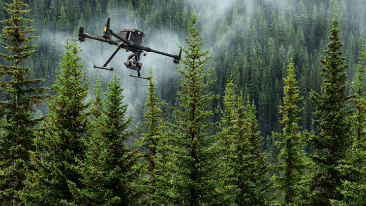
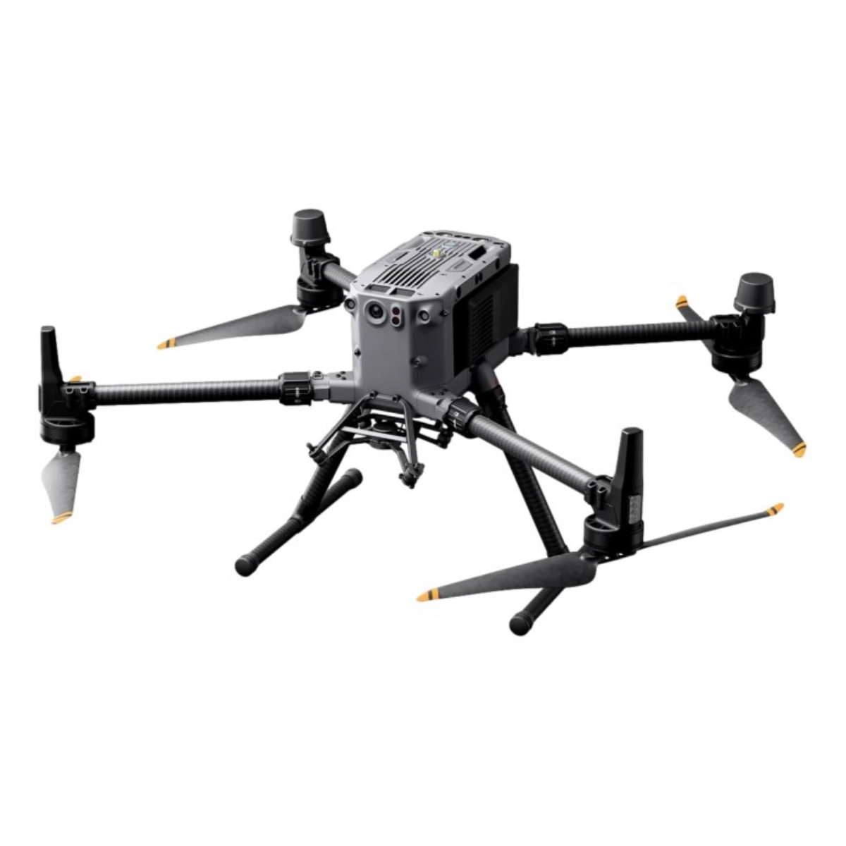
UAVs & Drones
- Deploy DJI drones, equipped with LiDAR sensors to gather high-resolution geospatial data for topographic surveys, forest health assessments, environmental monitoring, and habitat mapping.
- Safely and efficiently survey large forest areas, monitor biodiversity, and track environmental conditions to support sustainable management and regulatory compliance.
.png)
Cansel Professional Services
- Cansel offers a comprehensive range of field-to-finish products and services.
- Our expert team develops and rigorously tests solutions to ensure you maximize your hardware and software investments while delivering the best industry practices backed by reliable, cutting-edge technology.

Cansel’s Environmental Commitment
- Cansel is dedicated to minimizing environmental impact and promoting sustainability in forestry operations.
- With advanced monitoring solutions, we support forestry professionals in managing environmental risks, complying with regulations, and protecting ecosystems, workers, and surrounding communities.

Cansel’s Trimble offering
Trimble’s technology, available through Cansel, empowers forestry professionals to optimize operations with advanced surveying, mapping, and resource management solutions. From real-time forest monitoring to streamlined maintenance and ecological assessments, Trimble hardware and software enhance efficiency and maximize sustainable resource utilization.
.png)
Why Cansel?
Cansel delivers industry-leading solutions to support forestry organizations to increase productivity, improve data precision, and strengthen decision-making processes. With expert support and field-to-finish expertise, Cansel maximizes the value of your technology investment driving operational efficiency at every step.
Still have questions?